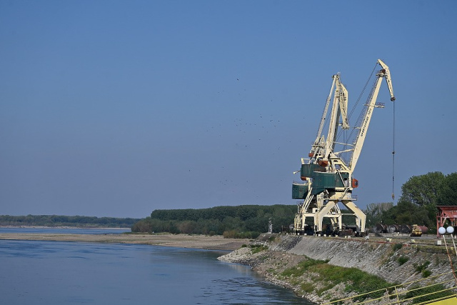


New AIS-Equipped Navigation Buoys Installed on the Bulgarian-Romanian Section of the Danube
 Danube
05.05.2026
Danube
05.05.2026
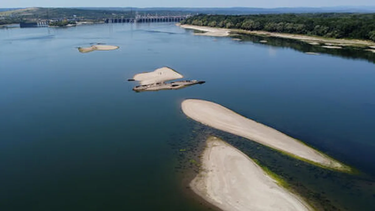
Bulgaria’s Executive Agency for Exploration and Maintenance of the Danube River has begun replacing floating navigation signs on the common Bulgarian-Romanian section of the Danube. The works started in the Svishtov area, where a new navigable route has been marked to provide a more convenient and safer passage for vessels.
The initiative involves the installation of modern floating navigation signs equipped with AIS technology — the Automatic Identification System. At the end of last year, the Bulgarian agency received 150 such buoys under the DISMAR project, financed through the INTERREG VI-A Romania-Bulgaria programme.
The new buoys meet modern visibility and safety requirements for inland waterways. They are equipped with solar panels and AIS devices, allowing their position to be tracked in real time through integrated information systems. This is particularly important for Danube sections where navigation conditions may change rapidly due to water levels, hydromorphological processes, fairway shifts or traffic intensity.
The DISMAR project is implemented jointly by the river administrations of Bulgaria and Romania. Its main objective is to improve navigation safety and modernize information infrastructure on the shared Danube section by developing an integrated cross-border marking system. In addition to floating signs, the project also includes the delivery of more than 1,000 new shore-based navigation signs to improve orientation along the river.
For the Bulgarian-Romanian section of the Danube, this is not merely a technical upgrade, but an element of strengthening the reliability of the entire river transport corridor. The Danube remains one of Europe’s key inland waterways, and after 2022 its role in regional logistics, freight transport and the support of alternative routes has significantly increased.
It is particularly important that navigation marking is being modernized on a cross-border basis. River navigation cannot be effective within the limits of one country alone: traffic safety depends on coordinated action by administrations, common technical standards, operational data exchange and the predictability of the fairway along the entire route.
IDR comment
According to the Institute of Danube Research, the installation of new AIS-equipped floating navigation signs on the Bulgarian-Romanian section of the Danube is an important example of practical modernization of river infrastructure.
“Navigation safety on the Danube depends not only on ports, fleets or fairway depth. The quality of navigation support is equally important — the visibility of signs, the accuracy of marking, digital tracking of objects and the ability to respond promptly to changing river conditions. The use of AIS technologies in floating navigation signs brings the Danube marking system to a more modern level of management,” IDR notes.
IDR emphasizes that the DISMAR project is important not only for Bulgaria and Romania. Its results affect the functioning of the wider Danube transport area, including Ukrainian Danube ports — Izmail, Reni and Ust-Dunaisk — as well as cargo routes linking the Black Sea with Central Europe.
For Ukraine, this experience is indicative for several reasons. First, it shows that the modernization of river navigation should not be carried out fragmentarily, but as part of an integrated waterway management system. Second, digital navigation tools directly influence the competitiveness of ports and the predictability of transport operations. Third, cross-border projects under INTERREG can serve as an effective mechanism for upgrading critical Danube infrastructure.
The Institute believes that modern Lower Danube logistics requires a comprehensive approach: port development should be accompanied by the modernization of the fairway, navigation marking, information systems, hydrographic monitoring and emergency response capacity. It is this infrastructural connectivity that forms the real basis of navigation safety.
In a broader sense, the installation of new AIS-equipped buoys is part of the Danube’s transition towards a more digital, safer and more resilient model of river transport management. For the Danube–Black Sea region, this is another signal that future competitiveness will depend not only on cargo volumes, but also on the quality of navigation, information and cross-border infrastructure.
 Moldova
 Ukraine

 Serbia

 Bulgaria
 Hungary
 Romania